South AfricaNigel
Nigel
Administrative Region:
Gauteng Province
population:
38 318
calling code:
+27-11
postcode:
1490-1491
Location on the map of South Africa
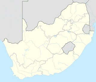
Nigel
Supermarket

SPAR Ferryvale
25 Beverley Road, Ferryvale, Nigel
Airport

Dunnator RC/PPG Club
Nigel-Springs Road, Greater Nigel, Nigel
Police
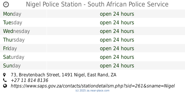
Nigel Police Station - South African Police Service
73 Breytenbach Street, Nigel
Restaurant


Nigel Goldfields Lodge & Functions
R51, 50 Springs Road, Nigel
Veterinary care